
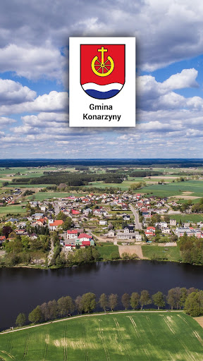
Features Konarzyny
Konarzyny commune is located in the south-western part of the Pomeranian Voivodeship in the Chojnice poviat.
It is located in the Pomeranian Lake District in the picturesque western part of the Tuchola Forest, among pine forests, meadows, numerous lakes and rivers.
Almost 70% of the communes area is protected landscape areas - these are fragments of Bory Tucholskie and the Brda basin bordering the Zaborski Landscape Park.
From the north it borders with the Lipnica commune, from the east with the Chojnice commune, from the south with the commune Człuchów, and on the west with the commune Przechlewo.According to the scientific studies of physical geography of Poland, the Konarzyny commune lies within the Charzykowska Plain which is part of the macro-region of the Pojezierze Południowopomorskie.
In the northern part of the commune flows the Chocina river - a tributary of Brda.
In this part there is also a number of gutter lakes.
In the southern part flows the Brda River.
In the commune there are 10 lakes with a total area of over 205 ha.
Forest areas occupy about 54% of the municipality, 38% are agricultural land, 8% water and other land.
Agricultural land is located in the central part of the commune between the villages of: Zielona Huta, Konarzyny and Ciecholewy.
The voivodship Chojnice - Bytów runs through the Konarzyny commune from the south to the north, constituting the communication axis of the commune with which the Brusy - Czarne road intersects.
The communes area is divided into six village councils and covers the area of 104.27 km2.
The commune is inhabited by 2316 residents.
Secure & Private
Your data is protected with industry-leading security protocols.
See the Konarzyny in Action
Get the App Today
Available for Android 8.0 and above